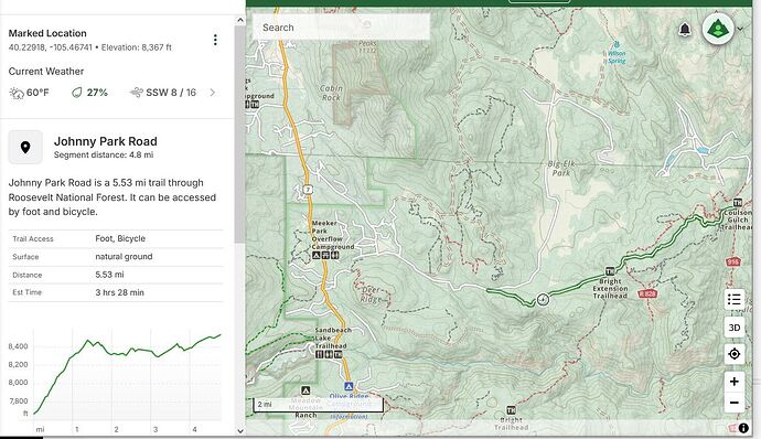
I’ve got some land up in the mountains (Allenspark, Colorado) and I want to lay out a driveway. I’ve got an RTK Express and have gotten pretty good with it, I’ve been learning all about NGS Survey Points and Reference Frames and know how to convert my NAD 83s into WGS 84s.
My driveway doesn’t have to be fancy - it’s just for me, just dirt, all I need is a route I can hand to my friend with a skid steer. The trick is that at the end of the day, I want a road that my daughter’s Kia Forte can handle so I want to make sure none of the slopes are too steep.
I’m imagining setting an RTK base unit on the official surveyor stake and then with an RTK rover taking a bunch of lat/lon/elev points, then dropping those points in a piece of software that lets me lay out a driveway by adding lines with my mouse (and it tells me “hey now, the slope of that chunk is 13%”).
Obviously there’s the question of local zoning, I’m working that angle as well. Assuming they’re OK with me doing this myself, does software even exist that lets an amateur deal with points acquired from the RTK Express (something beyond SW Maps)?
Thanks!
