Some quick testing of HAS/E6 with RTK Everywhere V3.1 on the PostCard :
Initial PPP convergence took about 15 minutes in open sky.
SW Maps reports RTK Float, which is expected since the GGA sentence reports Fix Mode 5 (RTK Float / PPP) when only using HAS PPP corrections. The same for the PVT message, it correctly reports Fix Mode 5 (PPP/HAS).
Using 15-second Averaged positions in SW Maps makes fairly repeatable points, usually less than 1’ horizontal, for today at my particular location.
Performance under light tree canopy was questionable. Repeating Averaged Positions on the same mark could result in 10+ feet of discrepancy, as multipath takes over. This isn’t the fault of the hardware, it’s the nature of HAS/E6 in the US.
At this point, I was still happy with the HAS/E6 performance, as this is something that could be useful in some GIS applications, with a dedicated HAS/E6 workflow.
Then I attempted some real-world testing. Losing satellite signal for a few seconds causes the dreaded cycle-slip. This means another 10-15 minutes for PPP convergence before Fix Mode 5. It doesn’t appear the Quectel V2.01 firmware has “re-acquisition” logic that would shorten re-convergence if the outage is very brief.
“Dumping” the antenna (force the solution to re-converge) simulates coming back to the same place at a different time, and is a standard practice in the Industry. The precision/repeatability of Solutions on previous marks widens when a new PPP convergence is obtained after 10-15 minutes.
My overall thoughts:
- In Open Sky, HAS/E6 can be beneficial if no other correction source is available. The user must ensure continuous satellite “lock” while moving between locations
- Users must be extremely mindful of multi-path conditions, as the Receiver doesn’t know it’s made a bad assumption in the Carrier Phase Integer guess. I think the bogus points I had under the light tree canopy were actually Corrected Code Measurements but the LG290P hadn’t updated it’s Fix Mode yet. That needs more testing to confirm.
I look forward to hearing from others on their recent experiences ![]()
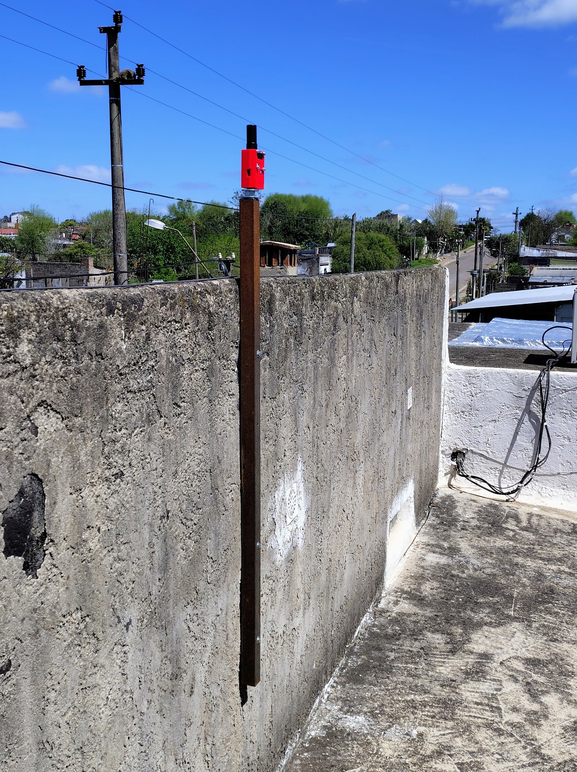
Setup Used:
- PostCard with external battery, no shield, a proven Quad-Band helical antenna
- RTK_Everywhere_Firmware_ V3.1 on the PostCard
- LG290P03AANR02A01S (V2.01) FW on LG290P
- SW Maps used and a Bluetooth Serial Terminal to make changes to FW
Configure LG290P GNSS Receiver to :
1 Hz, Disable QZSS & NavIC, 15° Elevation Mask, 30 dBHz min signal,
Turn OFF all NMEA except : GGA (makes it easier to look at the serial stream while testing)
Turn ON PQTM PVT message.